Wednesday, December 09, 2009

Your trails look better in Wikiloc

I'm excited to bring you news about a recent improvement in wikiloc.com to improve the resolution of all the beautiful photos taken along the trails.

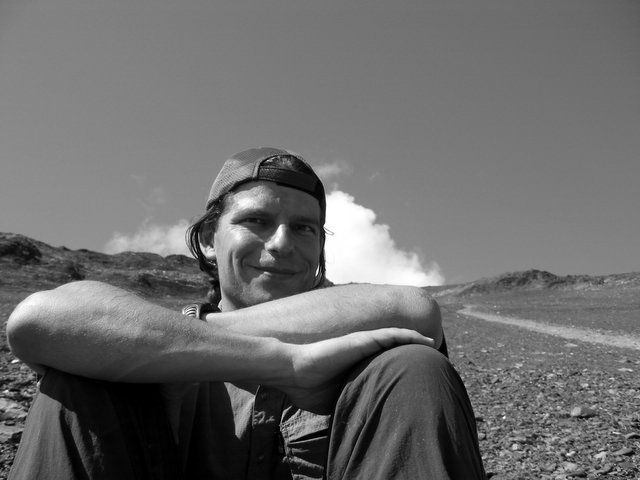
All scaled photos and thumbnails (above half a million) shown on the site have been regenerated using a better compression algorithm and now they look nicer:

Before:


Now:


Subtle but important to keep quality high across the site

Your original photos are kept unchanged as you uploaded them, this improvement only applies to the resized versions shown at wikiloc.com.

Hope you like it!

[Update] These photos were taken by ClipperCreekWanderer along Lake Powel-Rainbow bridge /Echo camp and Bryce Canyon NP-Navajo loop trails, both in Utah (USA)

Friday, October 16, 2009

Wikiloc in Polish!

Thanks to Grzegorz and Zbigniew Ilków wikiloc is fully translated to Рolish (Polski). As always, any help to bring down language barriers is highly appreciated, if you wish to volunteer translating to your language just drop me an e-mail at jordi A T wikiloc.com. Thanks a lot!

Please visit the about Wikiloc page for the complete list of volunteers.

Tuesday, October 13, 2009

New features

I'm glad to bring you two new features recently added to Wikiloc.com:

  • While drawing a trail on a map, you can now work with a maximized map that covers most of your screen and also you may choose between Google Maps or third party maps like USGS topo, ICC topo, etc.. I'm working in several additional maps that you've recently suggested. Having a choice to switch between maps is useful when you know that there is a trail that is not visible in the satellite view, perhaps covered by trees. In those cases, a topographic map could be of help:


  • There has been some not so visual work behind the scenes too, like correcting the elevation profile graphs for all trails (that's +100.000) that now display elevation-distance (instead of elevation-time as before). Additionally elevation data has been automatically calculated to all trails with lack of height value on their coordinates. Thanks to all of you who have contacted me directly or in the forum raising the need to fix it. Now all trails in Wikiloc should have elevation data (if you discover one that do not, please tell me..)

    Oh! and try to move the mouse over the elevation profile graph! hope you find it useful :-)


[UPDATE]

Another small improvement that will surely make it easier to maintain your trails. Aside from editing from "your trails" page, you may also start editing from the trail page itself. The icon is right below the trail's name, above the map:


Jordi

Friday, September 11, 2009

Wikiloc winner of the Geotourism Challenge!

I'm excited to bring you this news. A recognition from Ashoka Changemaker's and National Geographic to Wikiloc as a community, to all of us who share beautiful outdoor trails and photos in wikiloc.com.


My sincere thanks to all of you that have voted for Wikiloc and made this huge achievement possible. The number of votes has been really high as well as the emails of support I've got from you.

Aside from a better hardware infrastructure, I hope that this will also accelerate several improvements on the site that are in the pipe.

Many thanks!

--Jordi

Wednesday, August 26, 2009

Tiny gadget for your blog

Do you have a blog and would like to show off your latest outdoor trails? you may do it easily: access your profile by clicking on your username at the upper-right section of Wikiloc, grab the HTML code under "Blog Widget" and paste it to your blog.

Here's mine:

That was a Sunday morning hack so if you detect some issue please tell me at jordi -AT- wikiloc.com and I'll fix it ASAP :-) I appreciate your feedback


Hope you like it!

--Jordi

Friday, July 17, 2009

Wikiloc finalist of the Geoturism Challenge!

I'm happy to announce that Wikiloc is a finalist of the Geotourism challenge organized by Ashoka's Changemakers and National Geographic.

Geotourism, "tourism that sustains or enhances the geographical character of a place -its environment, culture, aesthetics, heritage, and the well-being of its residents" is in the heart of the Wikiloc's community and we're proud to be part of it.

I would like to encourage you to enter and vote for the 3 projects that you find more interesting (you should vote for 3 projects, marking 3 checkboxes for your vote to have effect), and needless to say that if Wikiloc is amongst your prefered ones, the better! :)

Wikiloc finalista del concurso de Geoturismo!

Me alegro de poder anunciar que Wikiloc ha sido seleccionado como uno de los 10 proyectos finalistas en el concurso de Geoturismo organizado por Ashoka’s Changemakers y National Geographic.

El Geoturismo, "el turismo que sustenta o realza el carácter geográfico de un lugar - su medio ambiente, la cultura, la estética, el patrimonio y el bienestar de sus residentes" es la base de la comunidad de Wikiloc y por la que estamos orgullosos de formar parte.

Os animo a que entréis y voteis por los 3 proyectos que encontreis mas interesantes (debes votar por 3 proyectos marcando 3 casillas para que el voto tenga efecto), y si Wikiloc es uno de ellos mucho mejor! :)

Monday, June 29, 2009

Wikiloc in Russian!

маршруты и путевые точки по всему миру!

Thanks to Herurg wikiloc is fully translated to Русский (Russian). Any help with new translations is highly appreciated, if you wish to volunteer translating to your language just drop me an e-mail at jordi A T wikiloc.com. Many thanks in advance!

Please visit the about Wikiloc page for the complete list of volunteers.

Monday, May 11, 2009

Draw your trails by hand

Whether you are planning a new trail for your next trip or willing to share a cool route you know by heart but haven't in your GPS receiver, you may find interesting a new feature of wikiloc that allows you to draw tracks manually on a map:


The link to access the tool is on the right side of the upload page

You may also add up to 25 waypoints along the route. And the elevation data and graph will be also calculated automatically for you.

Hope this will be an useful addition to your trail mapping toolbox! :)

Best,
Jordi

Monday, March 09, 2009

Wikiloc now a "preview layer" of Google Earth!

I'm excited to write about this new milestone that will surely make it easier to explore and discover great outdoor trails with Google Earth.

From now on several trails from Wikiloc will be shown automatically just after opening Google Earth:


That makes the layer easily discoverable since it may be activated by clicking on the "Show this layer" button on the balloon:


You may also choose to turn it on/off from Google Earth's Gallery section as before (see former post)


Enjoy and happy trails!

--Jordi

Thursday, February 26, 2009

Wikiloc in Serbian!

Thanks to Alex Milanovic we have Wikiloc in Serbian (Srpski (BiH))

With Serbian Wikiloc is already available in 13 languages, but needless to say that more translations are very welcome. If you wish to help in bringing language barriers down, just drop me an e-mail at jordi A T wikiloc.com

You can visit the 'about Wikiloc' page for a complete list of collaborators.

Monday, February 09, 2009

50000 trails from around the World

Today we have reached another magic number in Wikiloc. This time not related to traffic but to the number of trails all of us have shared so far in Wikiloc: 50.000

I hope that this will help you find trails in your favourite areas but also discover amazing outdoor spots like mountain bike trails in Rapa Nui, tracks in the Hawaii's Volcanoes N.P., snorkeling spots in Mozambique or mountaineering routes in Patagonia. We have a beautiful World to explore!

And that's just another step in the long trail we have in front of us. I'm working hard improving the site with your suggestions and hope to continue getting you on board. Stay tuned, more news are coming.

Enjoy and happy trails!
Jordi