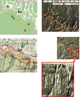
Spain's topographic maps
From the beginning of Wikiloc there's been external map servers available for the region of Catalonia (North-East of Spain) thanks to the initiative of the Institut Cartografic de Catalunya to open their web map services and geodata to the public. Later on I added the Terraserver-USA Web Map Services (topo/imagery) for the United States.
Today I'm glad to announce that there's already coverage for the whole spanish territory thanks to the IDEE project of the Instituto Geografico Nacional. Their web map services have been around for quite a long time, it was my fault (lack of time!) not to made them available within Wikiloc until now.
I'm glad that the public sector in Spain is opening access to geodata to citizens, freely, interoperable, useful. Good.
I'll do my best to add all the web map services that many of you have been requesting! Stay tuned! :-)
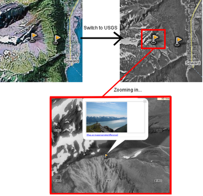
As usual, if you want to activate additional base imagery and maps for the region you're viewing, you can do it by clicking on the "More Maps" drop down list:


