(click on the image to view full size)

In a previous post I explained the steps needed if you want to give it a try. Basically:
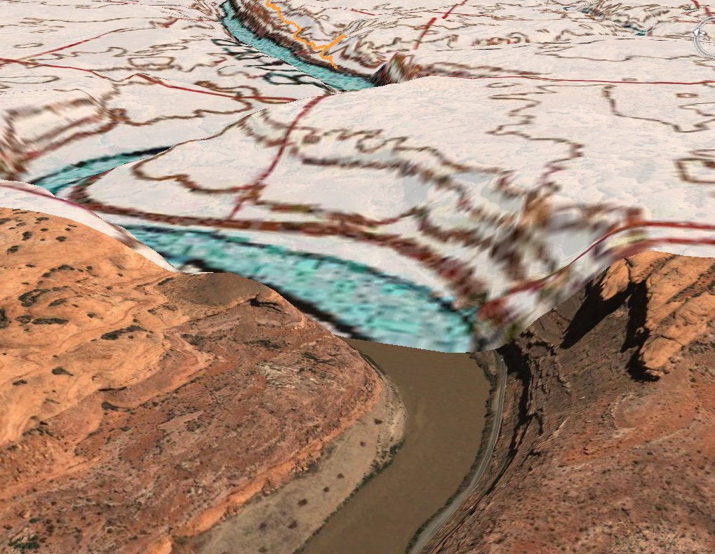
1 - While viewing a GPS trail/waypoint of your interest, click on "More Maps" and choose a map server from the list. This results in loading the overlays on the map frame.
2 - Click on "3D View" to see that view in Google Earth.
I'm happy for having this functionality in Wikiloc. I hope you enjoy it as much as I do :)
No comments:
Post a Comment